Big Spring is on the eastern margin of the Llano Estacado, or Staked Plains, which extend north from Midland up into the Texas Panhandle. Here, at the eastern edge of the Llano, is where some erosional remnants of Cretaceous carbonates break up the flatness of the landscape that dominates the area to the west. From Big Spring east and south, several more ridges of Cretaceous Edwards limestone are visible. Most are capped with a line or two of big white three-bladed windmills. The Edwards Plateau extends east to Austin, where is it chopped off by the Balcones Fault Zone. Beyond Austin, Cretaceous rocks take a big step down in section and the surface is again dominated by Tertiary and younger sediments, mostly sand and gravel. West of Big Spring, on the Llano Estacado, the surface is again mostly Tertiary-age Ogallala gravels. The Edwards Plateau is an erosional window to an older time. Any Tertiary-age sand and gravel has been stripped away by erosion and washed down toward the Gulf of Mexico.
I've passed through Big Spring but never stopped to take a look at the little state park here. Pulling off the interstate, I could see the hill in the distance upon which the park rests. I was surprised to see it covered with green and healthy-looking junipers. We rolled into the (free) state park and up to the scenic overlook. We hiked from there down to an MIA/POW memorial and saw some interesting plant life along the way:

Our first view off the top of the mesa to the west. Notice the juniper drape right down to the end of the slope.

I don't know what this plant is, but I bet it was a pretty flower during rainier times.

The seeds in these pods are so cool, all stacked up, they look like fish gills. Or some kind of insects nesting in the pod. Once it breaks open more the seeds begin to spill out.

Many of the prickly pear pads had these yellow-green "hairs" on them. Are they developing spikes? No, they're in the wrong place. New pads? No, too many. Flowers-to-be? I don't know!

A Texas Holly bush growing within the confines of a juniper. I wonder if the juniper serves as a "nurse plant" like palo verde do to saguaro cactus in the Sonoran desert. We saw this pairing repeated all over the park.

Texas Holly

We drove around to the short "nature trail". In places there were "thickets" of prickly pear.

This appears to be a different species of prickly pear. The pads are giant, maybe 16" across.

A nice bench and shelter. There were many rock structures throughout the park built from locally quarried Edwards limestone. These were built by the CCC in the 1930s.

View from along the park road. City of Big Spring. Notice the large building on the right of image, which I believe is a VA hospital. There are a number of neat buildings in Big Spring all built with the same light-colored sandy brick. Built in 30s-40s?
The new truck wanted to do some 4x4 roads but we didn't find any.

Lovely view from the picnic area near the visitor's center. Why no one picnicking on this lovely day?

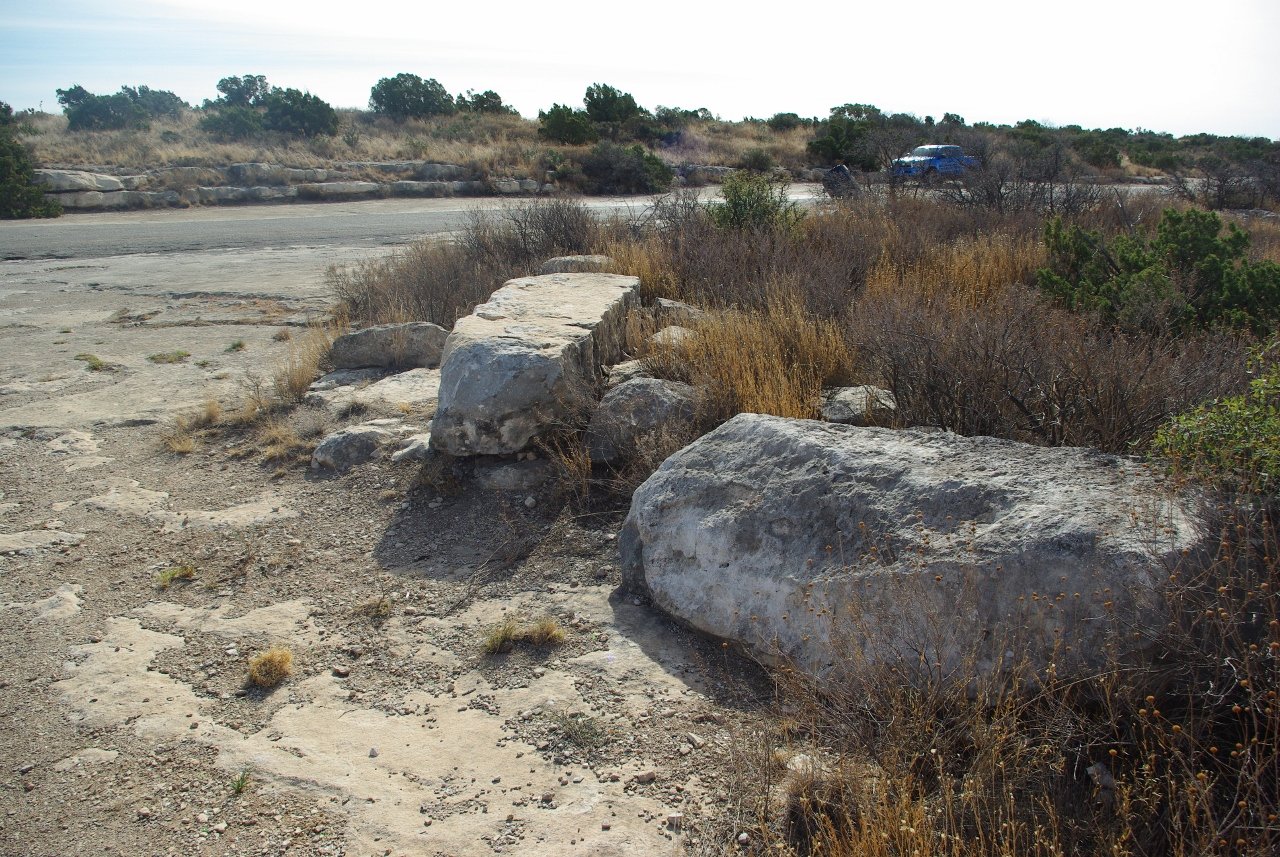
Shelly layer in the Edwards limestone.
Next we went down the hill to Comanche Trail Municipal Park. There is a spring and a natural pool here. Also a golf course, a frisbee golf course, and a number of other CCC structures:

An impressive limestone amphitheater! Who knew?

Somewhat run-down Boy Scout building from the 1930s.
On the way home, I stopped at a chicken place on US87 in Big Spring. It was ok food, but some of the clientele made me a bit edgy, especially the guy in front of me with the gang tattoos, including a teardrop near his right eye.
In the future I plan to come back and spend more time exploring downtown Big Spring, and more time at the Comanche Trail Municipal Park.
6 comments:
Hmmm, I remember reading somewhere that cactus had two types of spines. The ones that stay and look menacing and the ones that come out and do damage. Maybe those yellow hairlike ones are the damaging ones. They do look like spots for future flowers though. Sounds like you are having fun out there, why aren't you on a field trip with Ben out near San Antonio?
Usually the little spines are nasty, pokey fibers. Evil. But these were soft and not pokey (yes, I felt compelled to touch them). I didn't know Ben was going on trip until he called me on the drive to SA. If I'd known maybe coulda met them out in Del Rio, or gone on the trip.
You're a self-contained kind of guy! Looks like you had a grand adventure. Next time pack your own lunch to avoid scary people. A tattooed teardrop, for heavens' sake! Liked your pics, especially old Boy Scout building and prickly pear cactus!
Welcome to a wonderful place to grow up and live. Big Spring is my home, although I've been living in Ozona (115 Miles South) for the past 10 years. Gill's Fried Chicken is our favorite chicken place too. Those kids don't scare me, I just treat them like I would anyone else, and they seem to respect me the same. You've seen my favorite spots. One being the Scenic Mountain park, which was a daily walk for me. The large hospital in your photo is Scenic Mountain Medical Center Hospital. The VA Hospital is located on Hwy 87, near the FM 700 loop that takes you to the park. Webb AFB closed in 1977, which reduced the population greatly, and in turn, the businesses. But it is my home, and I love it so.
Thanks for the tour; grew up in BS, graduated 1966. Brought tears to my eyes. I do miss Big Spring. Cyndi is right about the hospitals, recognized the one in the pic right away. And I like Gill's Fried Chicken, too, but it used to be on South Gregg Street. Haven't been back in years, maybe soon I'll get a chance.
Thanks to all for your comments. You're right about the hospital of course. The VA hospital is out of view in that shot. It looks like they are rejuvenating some buildings downtown, especially the tall, ornate building (12+ stories?) a few blocks east of US-87. Indeed, it was Gill's Fried Chicken... one of the only non-chain places on the main drag open on Sunday. Are the lakes west of town usually full? I was surprised to see so much water.
Post a Comment